• Home
    Page
  • Somercotes
    History
  • Industry &
    Business
  • Sport &
    Leisure
  • The
    War Years
  • Pubs &
    Taverns
  • Education &
    Religion
  • Miscellaneous
    Information
  • Photo
    Gallery
Photo Gallery
  • Photo Gallery Home
  • Photos By Location
  • Photos By Category
  • Photo Search
  • Full Photo List
  • Contribute Photos


Photo Search Results

Your Search Results Are Shown Below | Showing: Maps
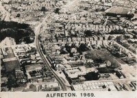


Aerial view of Alfreton 1969
Alfreton Aerial View (SLHS VOA 097)
Click To View

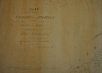
Land Map showing the Lordsip of Riddings Year 1800 - front of document on photo ID No. 1325
Riddings Map
Click To View

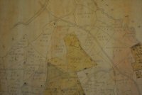
Land Map - areas plotted in the Lordship of Riddings
Riddings Map
Click To View


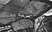
Aerial View of Birchwood Lane area 1974
Birchwood Lane, Somercotes 1974 (SLHS SM 046)
Click To View

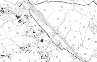
Map of lower Birchwood showing Cotes Park sidings, Lower Birchwood Colliery and Brick works
Lower Birchwood Map (SLHS SM 012)
Click To View

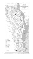
Coalfield Map of Yorkshire, Derbyshire and Nottinghamshire
Coalfield Map (SLHS SM 015)
Click To View


Showing Photos 1 to 6 of 45
Page 1 of 8 Pages
Web Site By OurSite.Info
© Somercotes History Society 2025
Validate: XHTML | CSS