


Riddings Map
| Photo ID #: | 1325 | |
| Description: | Land Map - areas plotted in the Lordship of Riddings | |
| Category: | Maps | |
| Location: | Riddings | |
| Date Range: | ||
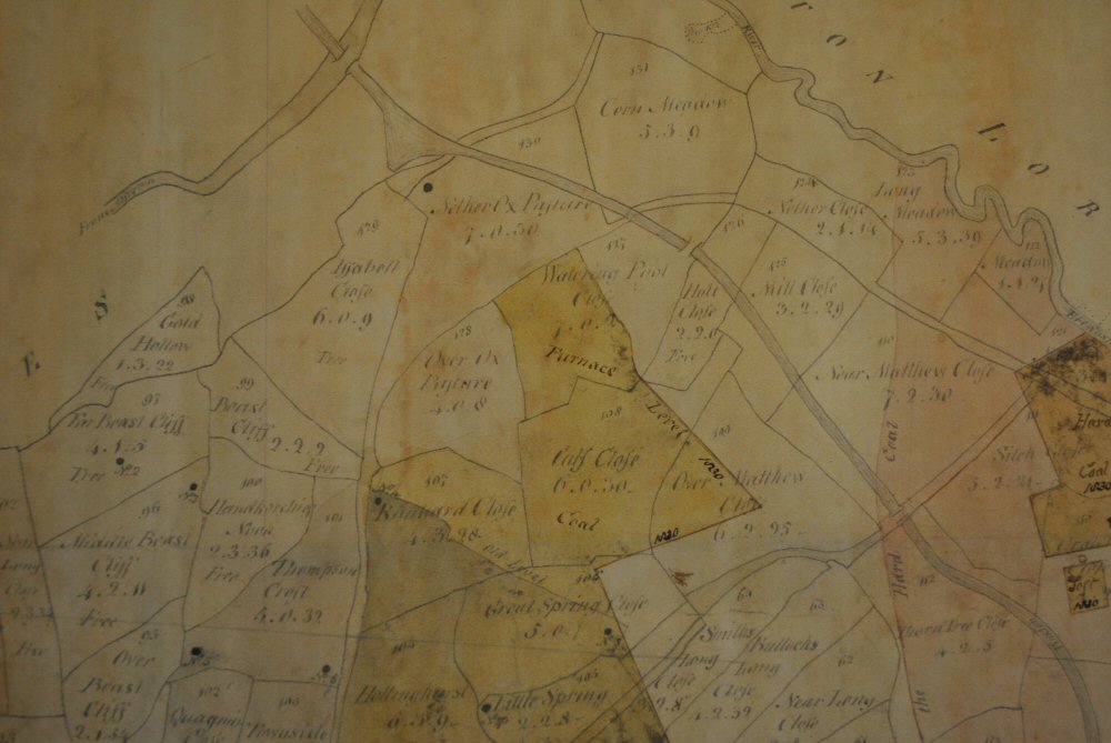
Front of title map can be viewed on photo ID No. 1324
| Photo ID #: | 1325 | |
| Description: | Land Map - areas plotted in the Lordship of Riddings | |
| Category: | Maps | |
| Location: | Riddings | |
| Date Range: | ||
Front of title map can be viewed on photo ID No. 1324