• Home
    Page
  • Somercotes
    History
  • Industry &
    Business
  • Sport &
    Leisure
  • The
    War Years
  • Pubs &
    Taverns
  • Education &
    Religion
  • Miscellaneous
    Information
  • Photo
    Gallery
Photo Gallery
  • Photo Gallery Home
  • Photos By Location
  • Photos By Category
  • Photo Search
  • Full Photo List
  • Contribute Photos


Photo Search Results

Your Search Results Are Shown Below | Showing: Somercotes-Maps


Early Map showing Alfreton
Alfreton Early Map (SLHS AM 008)
Click To View

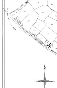
Summercotes Common Map Allocated land plots on Summercotes Common
Somercotes Map (SLHS SM 045)
Click To View

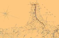
Stephenson's Railway Map of 1835
Somercotes Map (SLHS SM 021)
Click To View


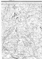
1839 OS Map showing Lower & Nether Birchwood
Somercotes Area Map (SLHS SM 001)
Click To View

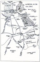
Alfreton District Map 14th Century
Alfreton & Somercotes Map (SLHS SM 002)
Click To View

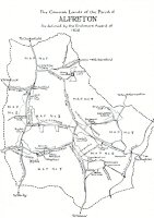
Alfreton Common Land defined by the Enclosure of 1820
Alfreton & Somercotes Map (SLHS SM 003)
Click To View


Showing Photos 1 to 6 of 12
Page 1 of 2 Pages
Web Site By OurSite.Info
© Somercotes History Society 2025
Validate: XHTML | CSS