


Somercotes Map (SLHS SM 045)
| Photo ID #: | 1337 | |
| Description: | Summercotes Common Map Allocated land plots on Summercotes Common | |
| Category: | Somercotes-Maps | |
| Location: | Somercotes | |
| Date Range: | ||
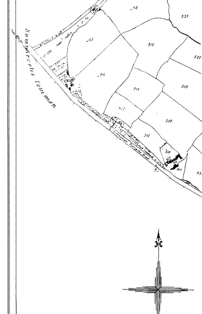
Note the spelling of Somercotes spelt 'Summercotes'. The area of land was, in those days, 1700's/1800's, open grazing land where the centre of Somercotes heading down Somercotes Hill, is today. The roads identified are 'from Alfreton', Birchwood Road (now Birchwood Lane) and Nottingham Turnpike Road