• Home
    Page
  • Somercotes
    History
  • Industry &
    Business
  • Sport &
    Leisure
  • The
    War Years
  • Pubs &
    Taverns
  • Education &
    Religion
  • Miscellaneous
    Information
  • Photo
    Gallery
Photo Gallery
  • Photo Gallery Home
  • Photos By Location
  • Photos By Category
  • Photo Search
  • Full Photo List
  • Contribute Photos


Photo Search Results

Your Search Results Are Shown Below | Showing: ALL PHOTOS


Map of Somercotes & Riddings marked are Picture Theatre and Old English Gentlemen at Somercotes
Somercotes & Riddings Map (SLHS SM 022)
Click To View

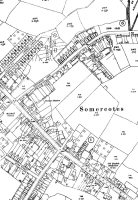
Map of Somercotes, Somercotes Hill, Birchwood Lane & Bank Street
Somercotes Map (SLHS SM 023)
Click To View

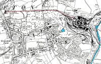
Map of Riddings marked is the tramway between Riddings Ironworks and Riddings windmills
Riddings Map (SLHS SM 024)
Click To View


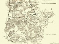
Map of Somercotes & Alfreton Area 1850 showing some of the industries at that time
Somercotes & Alfreton Map (SLHS SM 026)
Click To View

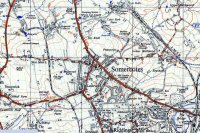
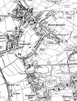
Map of Somercotes 1952
Somercotes Map (SLHS SM 027)
Click To View

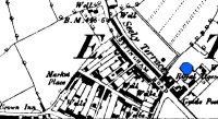
Map of Somercotes, Seely Terrace and old Market Place
Somercotes Map (SLHS SM 029)
Click To View


Showing Photos 1255 to 1260 of 2139
Page 210 of 357 Pages
Web Site By OurSite.Info
© Somercotes History Society 2025
Validate: XHTML | CSS