• Home
    Page
  • Somercotes
    History
  • Industry &
    Business
  • Sport &
    Leisure
  • The
    War Years
  • Pubs &
    Taverns
  • Education &
    Religion
  • Miscellaneous
    Information
  • Photo
    Gallery
Photo Gallery
  • Photo Gallery Home
  • Photos By Location
  • Photos By Category
  • Photo Search
  • Full Photo List
  • Contribute Photos


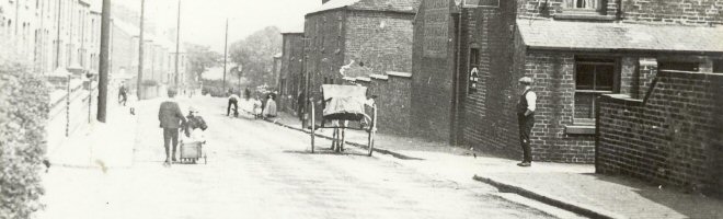
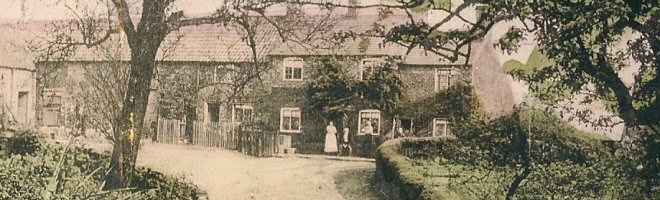
Photo Search Results

Your Search Results Are Shown Below | Showing: ALL PHOTOS


Coalfield Map of Yorkshire, Derbyshire and Nottinghamshire
Coalfield Map (SLHS SM 015)
Click To View

Map showing Riddings Windmill site and two old Shafts
Riddings Map (SLHS SM 016)
Click To View

Riddings Map shows the Football & Cricket grounds, also West Street and George Street circa 1940s
Riddings Map (SLHS SM 017)
Click To View


Map of Lower Somercotes and Pye Bridge showing Alfreton Iron Works and Furnace Row
Pye Bridge Map (SLHS SM 018)
Click To View

Riddings Map of Church Street, Riddings House, Riddings Park and old tramway line
Riddings Map (SLHS SM 019)
Click To View

Riddings Map of Greenhill Lane Area the Red Lion and Windmills are marked
Riddings Map (SLHS SM 020)
Click To View


Showing Photos 1249 to 1254 of 2139
Page 209 of 357 Pages
Web Site By OurSite.Info
© Somercotes History Society 2025
Validate: XHTML | CSS