• Home
    Page
  • Somercotes
    History
  • Industry &
    Business
  • Sport &
    Leisure
  • The
    War Years
  • Pubs &
    Taverns
  • Education &
    Religion
  • Miscellaneous
    Information
  • Photo
    Gallery
Photo Gallery
  • Photo Gallery Home
  • Photos By Location
  • Photos By Category
  • Photo Search
  • Full Photo List
  • Contribute Photos


Photo Search Results

Your Search Results Are Shown Below | Showing: ALL PHOTOS


Map of Lower Birchwood area date not known
Somercotes Map (SLHS SM 038)
Click To View

1600s Map of Alfreton and Somercotes Area
Somercotes Map (SLHS SM 039)
Click To View

Mining Map of Somercotes Riddings and Birchwood areas showing the positions of the early mines
Somercotes Map (SLHS SM 043)
Click To View


Map of Lowerbirchwood showing the Mines, Brick Yard and Railways
Somercotes Map (SLHS SM 044)
Click To View

1779 Map of Alfreton area
Somercotes Map (SLHS SM 048)
Click To View

A view of Riddings Ironworks, workshops and railway line.
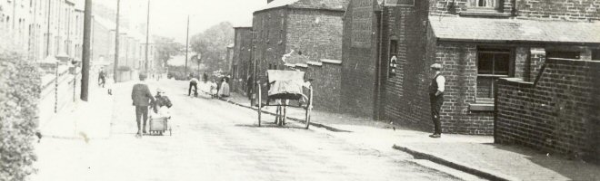
James Oakes & Co Ironworks (SLHS IWB 004)
Click To View


Showing Photos 1267 to 1272 of 2139
Page 212 of 357 Pages
Web Site By OurSite.Info
© Somercotes History Society 2025
Validate: XHTML | CSS