• Home
    Page
  • Somercotes
    History
  • Industry &
    Business
  • Sport &
    Leisure
  • The
    War Years
  • Pubs &
    Taverns
  • Education &
    Religion
  • Miscellaneous
    Information
  • Photo
    Gallery
Photo Gallery
  • Photo Gallery Home
  • Photos By Location
  • Photos By Category
  • Photo Search
  • Full Photo List
  • Contribute Photos


Photo Search Results

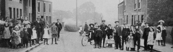
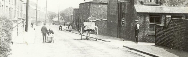
Your Search Results Are Shown Below | Showing: Somercotes Streets & Roads


Somercotes, Coupland Place. Entrance into Coupland Place (off Nottingham Road), Somercotes
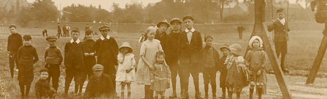
Somercotes Coupland Place (SLHS OS 011)
Click To View

Somercotes, Brenden Avenue. View from Main Road, Leabrooks. The goal post of the Secondary Modern School sports field can be seen (left of centre).
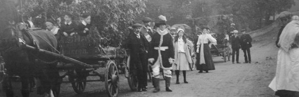
Somercotes Brenden Avenue (SLHS OS 008)
Click To View

Brenden Ave, Somercotes looking across from Leabrooks. The area between the hedge (seen in the centre) and Brenden Avenue was the Somercotes Secondary Modern Scholl sports field.
Somercotes Brenden Avenue (SLHS OS 007)
Click To View


Brenden Avenue, Somercotes. Possibly taken in the 1960s.
Somercotes Brenden Avenue (SLHS OS 009)
Click To View

Baker Close, Somercotes, dating from 1953.
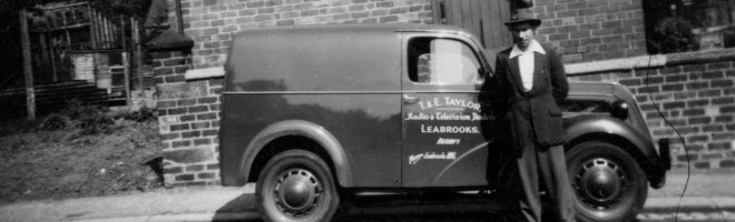
Somercotes Baker Close (SLHS OS 010)
Click To View

Langley Avenue, Somercotes. An early photograph before the construction of Wheatley Avenue at the bottom.
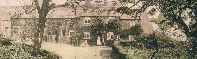
Somercotes Langley Avenue (SLHS OS 004)
Click To View


Showing Photos 73 to 78 of 146
Page 13 of 25 Pages
Web Site By OurSite.Info
© Somercotes History Society 2025
Validate: XHTML | CSS