• Home
    Page
  • Somercotes
    History
  • Industry &
    Business
  • Sport &
    Leisure
  • The
    War Years
  • Pubs &
    Taverns
  • Education &
    Religion
  • Miscellaneous
    Information
  • Photo
    Gallery
Photo Gallery
  • Photo Gallery Home
  • Photos By Location
  • Photos By Category
  • Photo Search
  • Full Photo List
  • Contribute Photos


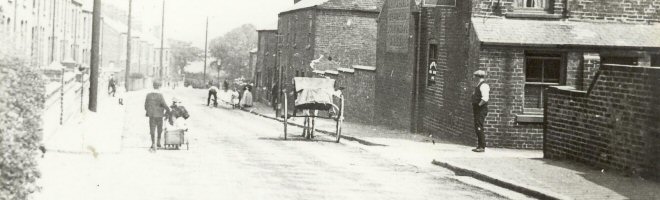
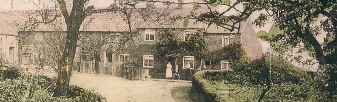
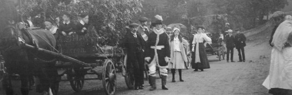
Photo Search Results

Your Search Results Are Shown Below | Showing: Riddings, Iron Works


Map showing the Railways at Pye Bridge 1985, with mineral lines from the collieries and ironworks
Ironworks Maps (SLHS IWM 013)
Click To View

Map of Riddings area 1811 with Ironworks, none of the Roads we know have been built
Ironworks Maps (SLHS IWM 015)
Click To View

Transport and Industry map of Somercotes, Riddings and surrounding areas
Ironworks Maps (SLHS IWM 016)
Click To View


Map of Pye Bridge, with Ironworks, Ironworks Sports Ground, Clay Pits, Jubilee, Canal and Railways
Ironworks Maps (SLHS IWM 019)
Click To View

Map of Pye Bridge and Riddings, with Ironworks the Old Deeps and New Deeps mines are marked in red and blue respectively
Ironworks Maps (SLHS IWM 020)
Click To View

Map showing the position of Somercotes Colliery adjacent to Firnace Row and Riddings Ironworks
Ironworks Maps (SLHS IWM 021)
Click To View


Showing Photos 121 to 126 of 191
Page 21 of 32 Pages
Web Site By OurSite.Info
© Somercotes History Society 2025
Validate: XHTML | CSS