• Home
    Page
  • Somercotes
    History
  • Industry &
    Business
  • Sport &
    Leisure
  • The
    War Years
  • Pubs &
    Taverns
  • Education &
    Religion
  • Miscellaneous
    Information
  • Photo
    Gallery
Photo Gallery
  • Photo Gallery Home
  • Photos By Location
  • Photos By Category
  • Photo Search
  • Full Photo List
  • Contribute Photos


Photo Search Results

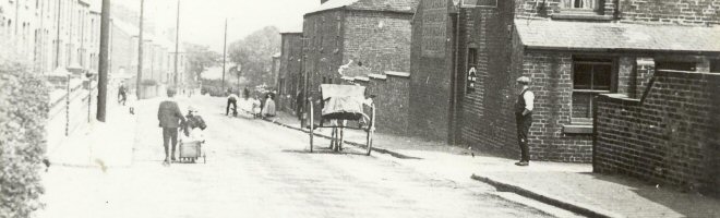
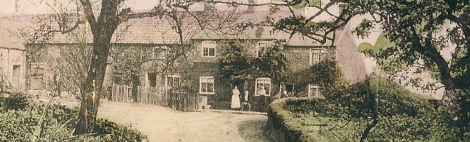
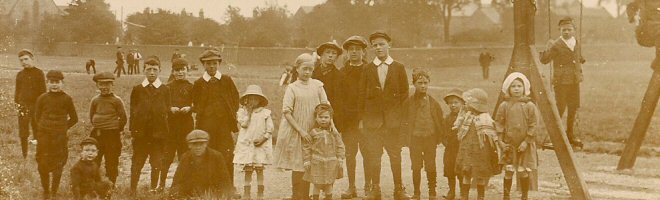
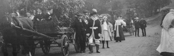
Your Search Results Are Shown Below | Showing: Riddings, Iron Works


1917 Map of James Oakes Riddings Ironworks
Ironworks Maps (SLHS IWM 002)
Click To View

Map of Pye Bridge, Riddings showing the Ironworks, Riddings Park, Riddings House and Greenhill Lane area
Ironworks Maps (SLHS IWM 003)
Click To View

Riddings Ironworks Site and Buildings
Ironworks Maps (SLHS IWM 007)
Click To View


Riddings Ironworks Map, showing Ironworks, Furnace Row, and Hollyhurst Terrace
Ironworks Maps (SLHS IWM 008)
Click To View

Map of the Ironworks at Pye Bridge, shows the Canal, Canal Basin, Railways and Tramways
Ironworks Maps (SLHS IWM 009)
Click To View

Stephenson's Railway map of 1835 made for the route of proposed Railways
Ironworks Maps (SLHS IWM 012A)
Click To View


Showing Photos 115 to 120 of 191
Page 20 of 32 Pages
Web Site By OurSite.Info
© Somercotes History Society 2025
Validate: XHTML | CSS